Demeter
-
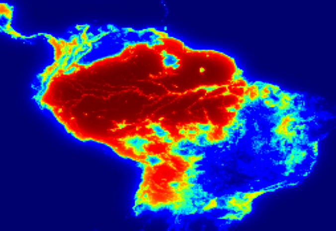
Product Image:
Description:
Demeter is a land use land cover downscaling and change detection model. It is an open-source model written in Python that downscales zonal land allocation projections to the gridded resolution of a user-selected spatial base layer (e.g., MODIS, NLCD, EIA CCI, etc.). Demeter was designed to be fully extensible to allow for module inheritance and replacement for custom research needs, such as flexible IO design to facilitate the coupling of Earth system models (e.g., the Accelerated Climate Modeling for Energy (ACME) and the Community Earth System Model (CESM)) to integrated assessment models (e.g., the Global Change Assessment Model (GCAM)).
Acknowledgement:
Produced with funding from the U.S. Department of Energy.
Disclaimer:
This material was prepared as an account of work sponsored by an agency of the United States Government. Neither the United States Government nor the United States Department of Energy, nor Battelle, nor any of their employees, nor any jurisdiction or organization that has cooperated in the development of these materials, makes any warranty, express or implied, or assumes any legal liability or responsibility for the accuracy, completeness, or usefulness or any information, apparatus, product, software, or process disclosed, or represents that its use would not infringe privately owned rights.
Reference herein to any specific commercial product, process, or service by trade name, trademark, manufacturer, or otherwise does not necessarily constitute or imply its endorsement, recommendation, or favoring by the United States Government or any agency thereof, or Battelle Memorial Institute. The views and opinions of authors expressed herein do not necessarily state or reflect those of the United States Government or any agency thereof.
PACIFIC NORTHWEST NATIONAL LABORATORY
operated by
BATTELLE
for the
UNITED STATES DEPARTMENT OF ENERGY
under Contract DE-AC05-76RL01830